Forks Campground, Gila Hot Springs, NM

Wilderness Ranger District

Gila National Forest

Free Camping Near Gila Cliff Dwellings National Monument

Forks Campground is a free, designated dispersed camping area offered by Gila National Forest. It's actually a combination campground and day-use area, where camping is allowed in the upper portion of the area, while the day-use area is located within the lower portion.

Authority

Wilderness Ranger District logo

Wilderness Ranger District

Gila National Forest

District Office

Tel: (575) 536-2250

Official campground webpage

Particulars

GPS: 33.1837, -108.2061

Elevation: 5,584 feet

Reservations: First come, first served

Camping Fee: None

Permit: None

Max stay: 14 days in a 45-day period

Amenities: Vault toilet, fire rings

Submitted by

Admin Staff

Admin Staff

Boondocker's Bible

blm map overlay BLM  national forest overlay USFS  national park map overlay NPS  national wildlife refuge map overlay NWR  city boundary map overlay City  private property map overlay Private  wilderness area overlay Wilderness [CTRL + Left Mouse Click] for 3D Tilt

Free Camping at Forks Campground

Forks Campground is the area’s only free designated forest campground close to Gila Cliff Dwellings National Monument.

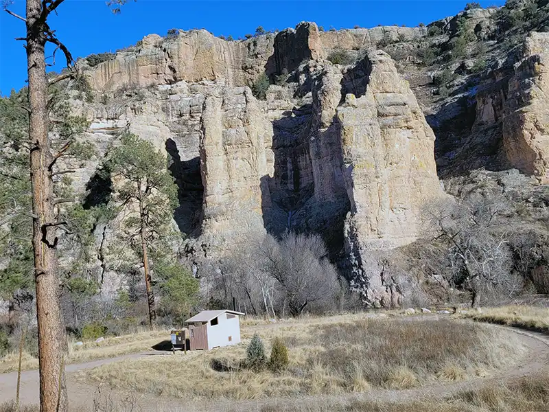
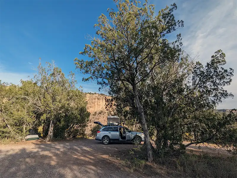
There’s enough room for about seven campsites, many of which can support full-sized RVs. There actually are no designated campsites, it’s purely a dispersed area. There are no picnic tables.

The road leading up the campground, Highway 15, is all paved, while the road heading inside the campground is firm-packed gravel, suitable for any vehicle.

This campground will get crowded on weekends, particularly in the summer, due to folks wanting to float down the West Fork Gila River in their inflatables. But during the week from Monday through Thursday, it remains quiet.

The Forest Service says that camping is not allowed in the lower portion of the campground/day-use area, but it’s not clear as to where this boundary line is. For the most part, as long as you don’t camp on the river bank itself, you seem to be fine. The bank itself is meant for people accessing the water and pursuing water activities.

Other Campsites Within 20 Miles Radius

Associated Documents

Gila National Forest Order 03-06-00-23-004, Occupancy rules, maximum camping limits, (eff: May 19, 2023, term: May 18, 2025)
Motor Vehicle Use Map, Black Range, Wilderness, & Silver City Ranger Districts, Page 2, Illustrates dispersed camping restrictions & OHV restrictions, (eff: January 1, 2023)
Motor Vehicle Use Map, Black Range, Wilderness, & Silver City Ranger Districts, Page 1, Illustrates dispersed camping restrictions & OHV restrictions, (eff: January 1, 2023)

Leave a Comment