Borrego Mesa Campground, Santa Fe, NM

Espanola Ranger District

Santa Fe National Forest

Free Camping Near Santa Fe, NM

This is a free, developed campground offered by Santa Fe National Forest. There are eight campsites, most of which are large enough for full-sized motorhomes, trailers, and fifth wheels, though the drive up is bumpy. The road up is okay for 2WD vehicles, but high clearance is recommended.

Authority

Espanola Ranger District logo

Espanola Ranger District

Santa Fe National Forest

District Office

Tel: (505) 753-7331

Official campground webpage

Particulars

GPS: 35.9792, -105.7725

Elevation: 8,796 feet

Reservations: First come, first served

Camping Fee: None

Permit: None

Max stay: 14 days in a 45-day period

Amenities: Picnic tables, fire rings

Submitted by

Admin Staff

Admin Staff

Boondocker's Bible

blm map overlay BLM  national forest overlay USFS  national park map overlay NPS  national wildlife refuge map overlay NWR  city boundary map overlay City  private property map overlay Private  wilderness area overlay Wilderness [CTRL + Left Mouse Click] for 3D Tilt

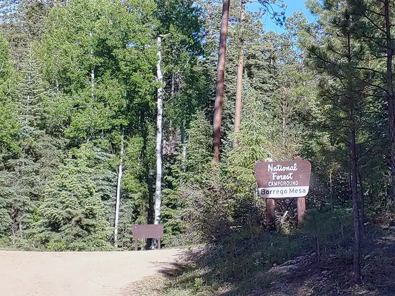
Camping at Borrego Mesa Campground

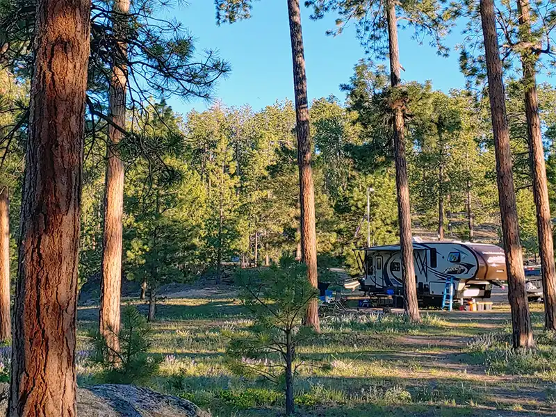
One of the more rarely-used campgrounds within Espanola Ranger District, they closed the restroom and welded the doors shut. The campsites here are large enough for full-sized RVs, however the sites are unlevel. Be sure to bring your leveling blocks.

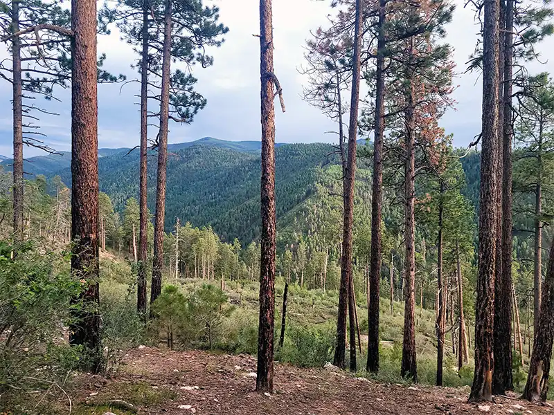
Borrego Mesa Campground is located close to several trailheads leading into the north half of the Pecos Wilderness. There are small corrals at each site suitable for one or two horses. Adjacent to and south of the campground is the Rio Medio Trailhead, one of the major trailheads into the Pecos Wilderness.

This campground is primarily used for picnicking by locals from nearby communities, and also serves as a base camp for horseback riders and backpackers into the Pecos.

To get here, take Highway 76 into the town of Cordova and exit on to County Road 80 (also known as Arroyo Rd). Take 80 north and before entering downtown Cordova, take the narrow side road (County Road 83) north. At 0.2 of a mile, bear to the right on to the dirt road (Forest Road 440). This eventually becomes Forest Road 306. This road will take up close to the campground (You will see a sign telling you to turn right to the campground).

Check your map before driving here because there are lot of forest roads that branch off of 306.

Other Campsites Within 20 Miles Radius

Associated Documents

Santa Fe National Forest Order 10-494, Occupancy rules, camping limits, alcohol possession, public nudity, (eff: June 10, 2021, term: December 31, 2026)
Motor Vehicle Use Map, Espanola & Pecos Ranger Districts, Illustrates dispersed camping restrictions & OHV restrictions, (eff: January 1, 2024)
Motor Vehicle Use Map, Coyote, Cuba, & Espanola Ranger Districts, Illustrates dispersed camping restrictions & OHV restrictions, (eff: January 1, 2024)
Motor Vehicle Use Map, Jemez & Espanola Ranger Districts, Illustrates dispersed camping restrictions & OHV restrictions, (eff: January 1, 2024)

Leave a Comment