Columbine Campground, Austin, NV

Austin-Tonopah Ranger District

Humboldt-Toiyabe National Forest

Free Camping Near Austin, NV

This is a free, developed campground offered by Humbolt-Toiyabe National Forest. There are 7 sites, 2 tent only sites, 1 group site, and 4 RV sites for trailers up to 35 feet in length. It's located along Forest Road 119 (43119 on MVUM), about 54 miles south of Austin, NV.

Authority

Austin-Tonopah Ranger District logo

Austin-Tonopah Ranger District

Humboldt-Toiyabe National Forest

District Office

Tel: (775) 482-6286

Official campground webpage

Particulars

GPS: 38.9002, -117.3765

Elevation: 8,665 feet

Reservations: First come, first served

Camping Fee: None

Permit: None

Max stay: 14 days

Amenities: Picnic tables, fire rings, vault toilet

Submitted by

Admin Staff

Admin Staff

Boondocker's Bible

blm map overlay BLM  national forest overlay USFS  national park map overlay NPS  national wildlife refuge map overlay NWR  city boundary map overlay City  private property map overlay Private  wilderness area overlay Wilderness [CTRL + Left Mouse Click] for 3D Tilt

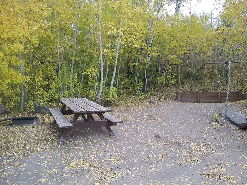
Camping at Columbine Campground

Generally open May to October as weather and conditions allow, Columbine Campground serves as the entry point to Arc Dome Wilderness Area by the Stuart Creeek Trailhead, with trailhead access to Toiyabe Crest National Recreation Trail through the Arc Dome Wilderness. A stock loading ramp is available for campers with horses.

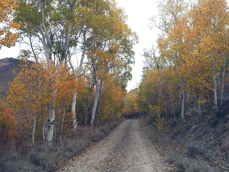
Forest Road 119 (which appears as 43119 on the Motor Vehicle Use Map, and NF-119 on Google Map), is a hard-packed dirt road that gets muddy in wet weather. Even though motorhomes and trailers can be driven to this campground, avoid it if looks like rain is in the forecast, unless you have 4WD. Either way, expect a slow, bumpy drive in.

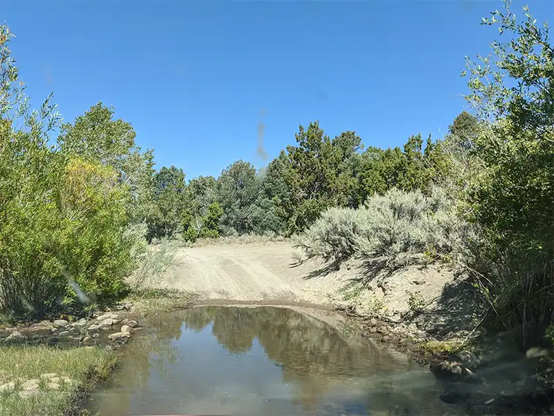
There is a place where Stewart Creek runs over Forest Road 119, it’s located right at the border where BLM land transitions to USFS land (see it on Google Map). During snow melt, 4WD is required to pass through here, though after the thaw has subsided, there is a place just before the crossing where you can pull over and investigate first.

It’s a beautiful campground surrounded by Aspens and mountain peaks. Stewart Creek runs right next to the campground.

Associated Documents

Motor Vehicle Use Map, Page 1, Overview, Austin-Tonopah Ranger District, Humboldt-Toiyabe National Forest, 2024
Motor Vehicle Use Map, Page 2, Northwest, Austin-Tonopah Ranger District, Humboldt-Toiyabe National Forest, 2024
Motor Vehicle Use Map, Page 3, Northeast, Austin-Tonopah Ranger District, Humboldt-Toiyabe National Forest, 2024
Motor Vehicle Use Map, Page 4, Southwest, Austin-Tonopah Ranger District, Humboldt-Toiyabe National Forest, 2024
Motor Vehicle Use Map, Page 5, South & Southeast, Austin-Tonopah Ranger District, Humboldt-Toiyabe National Forest, 2024
Motor Vehicle Use Map, Page 6, Southwest, Jefferson Detail, Austin-Tonopah Ranger District, Humboldt-Toiyabe National Forest, 2024

Leave a Comment