Kennedy Meadows Campground, Kennedy Meadows, CA

Mt. Whitney Ranger District

Inyo National Forest

Free Camping Near Kennedy Meadows, CA

Kennedy Meadows Campground is a free, developed campground offered by Inyo National Forest. Located on the Pacific Crest Trail near the South Fork of the Kern River, this campground is surrounded by the South Sierra, Golden Trout, and Domeland wildernesses. Some of the 37 sites are shaded by juniper and pinion. It has space for small to medium-sized trailers, no longer than 30 feet.

Authority

Mt. Whitney Ranger District logo

Mt. Whitney Ranger District

Inyo National Forest

District Office

Tel: (760) 876-6200

Official campground webpage

Particulars

GPS: 36.0516, -118.1306

Elevation: 6,132 feet

Reservations: First come, first served

Camping Fee: None

Permit: None

Max stay: 14 consecutive days wtihin a 10-mile radius, 28 cumulative days in a calendar year

Amenities: Picnic tables, fire rings, vault toilets

Submitted by

Admin Staff

Admin Staff

Boondocker's Bible

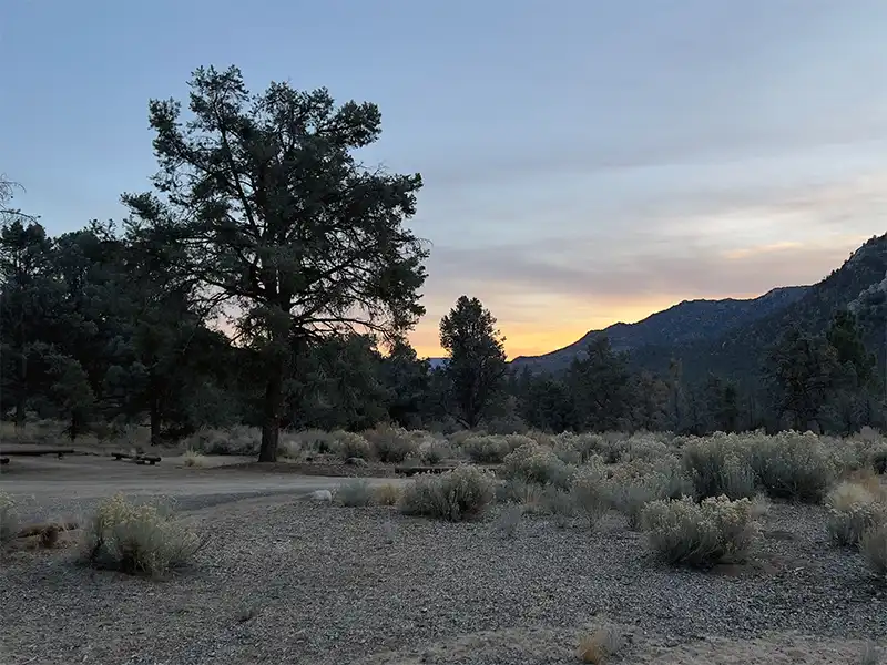
Camping at Kennedy Meadows Campground

The route up to Kennedy Meadows Campground starts at US-395, just north of Pearsonville, at the intersection with 9 Mile Canyon Road. You gain about 3,500 feet of elevation in a distance of 26 miles. Most of that gain occurs during an 8 mile climb up the Southern Sierras into the hamlet of Kennedy Meadows.

Small to medium-sized motorhomes and trucks towing trailers can fit in the campground as long as they don’t overheat trying to make that climb up.

Otherwise, Kennedy Meadows Campground is primarily a stop-over for motorcyclists, bicyclists, and 4WD enthusiasts looking to tame Sherman Pass Road, and then down the other side into Kernville. Technically, that entire route is paved, though narrow with tight curves. You wouldn’t want to tow anything longer than 20 feet.

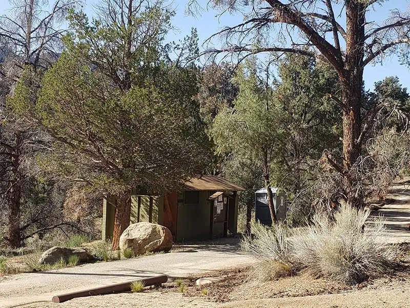
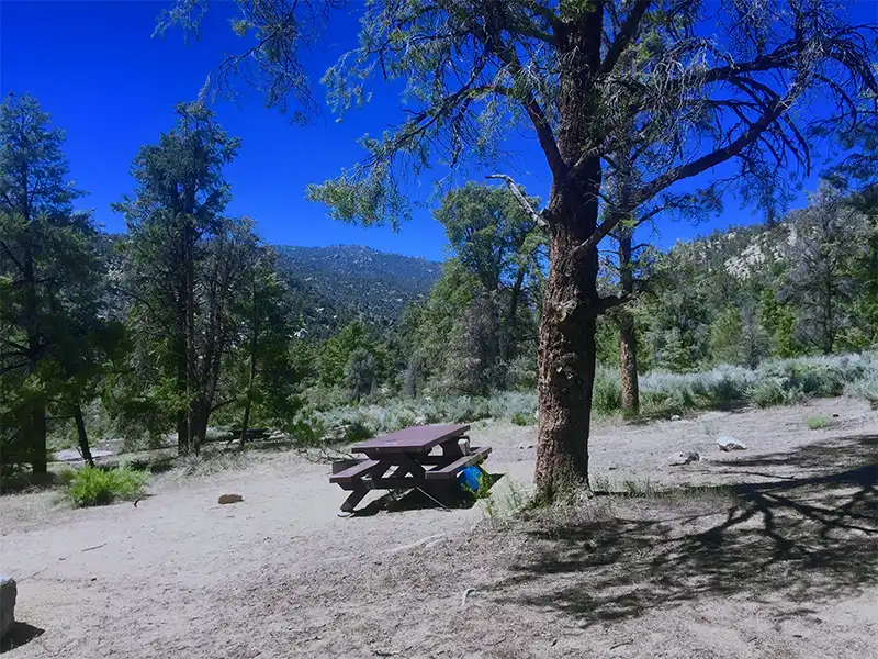
Kennedy Meadows Campground is rustic at best, with many sites being unlevel, gravel pads. There are no trash cans, and no water. While the hamlet of Kennedy Meadows does have a small general store, you’re going to have to make the descent back down to US-395 to find any decent supplies. Make sure you have everything you need before you head up.

Associated Documents

Forest Order 05-04-50-23-07 Occupancy Limits, Inyo National Forest, (eff: July 3, 2023, term: July 3, 2025)
Motor Vehicle Use Map, Monache, Inyo National Forest, 2018
Motor Vehicle Use Map, Southern Sierra, Inyo National Forest, 2018
Motor Vehicle Use Map, Inyo Mountains, Inyo National Forest, 2018

Leave a Comment