Peavine Creek Campground, Tonopah, NV

Austin-Tonopah Ranger District

Humboldt-Toiyabe National Forest

Free Camping Near Tonopah, NV

Peavine Creek Campground is a free, developed campground offered by Humboldt-Toiyabe National Forest. Located in Peavine Canyon, on the southeastern side of the Toiyabe Mountain Range, the campground is approached along Peavine Road (NF-020 on Google Map, 44020 on Motor Vehicle Use Map).

Authority

Austin-Tonopah Ranger District logo

Austin-Tonopah Ranger District

Humboldt-Toiyabe National Forest

District Office

Tel: (775) 482-6286

Official campground webpage

Particulars

GPS: 38.6151, -117.3025

Elevation: 6,280 feet

Reservations: First come, first served

Camping Fee: None

Permit: None

Max stay: 14 days

Amenities: Picnic tables, fire rings, vault toilet

Submitted by

Admin Staff

Admin Staff

Boondocker's Bible

blm map overlay BLM  national forest overlay USFS  national park map overlay NPS  national wildlife refuge map overlay NWR  city boundary map overlay City  private property map overlay Private  wilderness area overlay Wilderness [CTRL + Left Mouse Click] for 3D Tilt

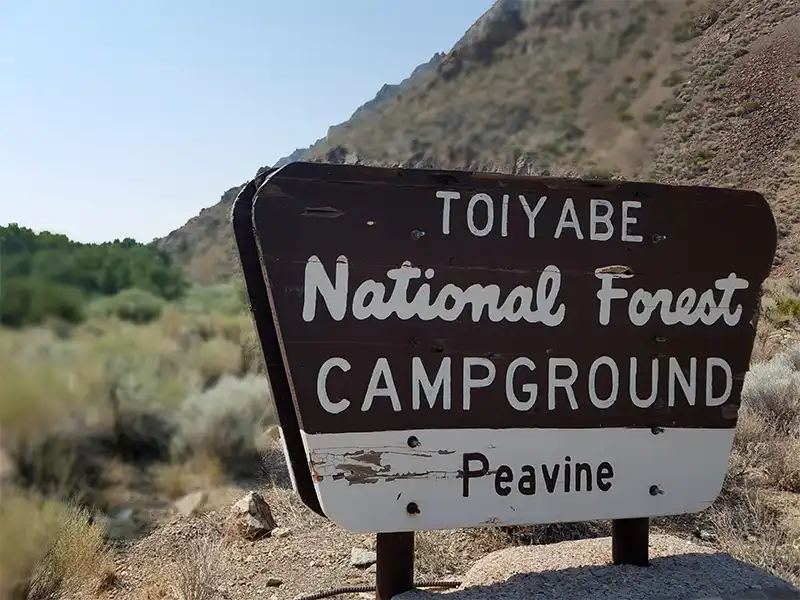
Camping at Peavine Creek Campground

Generally open May to October as weather and conditions allow, Peavine Creek Campground offers access to Arc Dome Wilderness by the Peavine and Toms Canyon Trailheads. It’s also a popular campground during the summer due to its relatively cool temperatures and proximity to fuel and supplies in Tonopah.

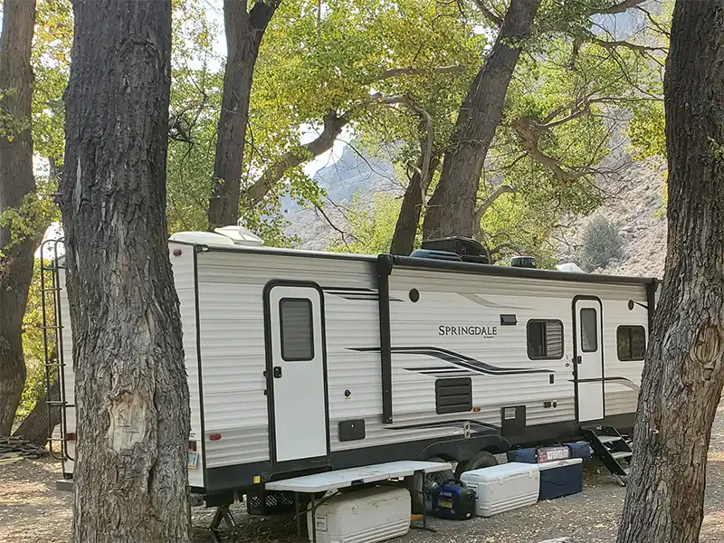
Peavine Road is a firm-packed gravel road, though narrow for much of the way from the town of Peavine. It’s bumpy in a lot of places, but still doable via 2WD, and still capable of towing a longer trailer.

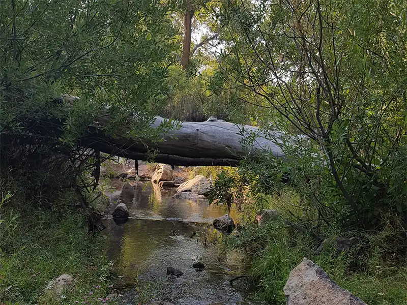
Peavine Creek runs through the campground, offering a soothing ambiance. Night skies are pitch black, aside from moonlight. The town of Tonopah lies 49 miles to the south and offers the closest fuel and supplies.

Associated Documents

Motor Vehicle Use Map, Page 1, Overview, Austin-Tonopah Ranger District, Humboldt-Toiyabe National Forest, 2024
Motor Vehicle Use Map, Page 2, Northwest, Austin-Tonopah Ranger District, Humboldt-Toiyabe National Forest, 2024
Motor Vehicle Use Map, Page 3, Northeast, Austin-Tonopah Ranger District, Humboldt-Toiyabe National Forest, 2024
Motor Vehicle Use Map, Page 4, Southwest, Austin-Tonopah Ranger District, Humboldt-Toiyabe National Forest, 2024
Motor Vehicle Use Map, Page 5, South & Southeast, Austin-Tonopah Ranger District, Humboldt-Toiyabe National Forest, 2024
Motor Vehicle Use Map, Page 6, Southwest, Jefferson Detail, Austin-Tonopah Ranger District, Humboldt-Toiyabe National Forest, 2024

Leave a Comment