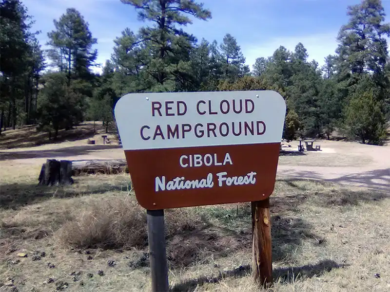
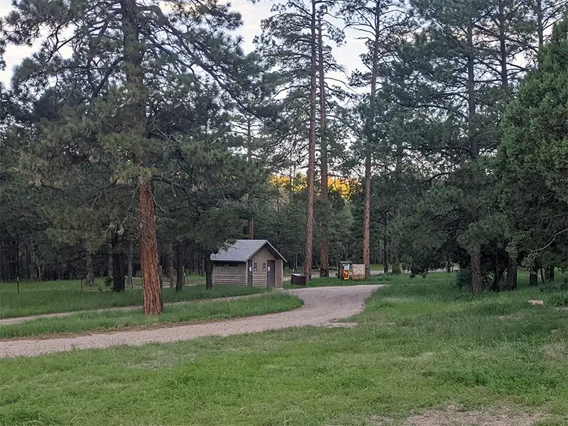
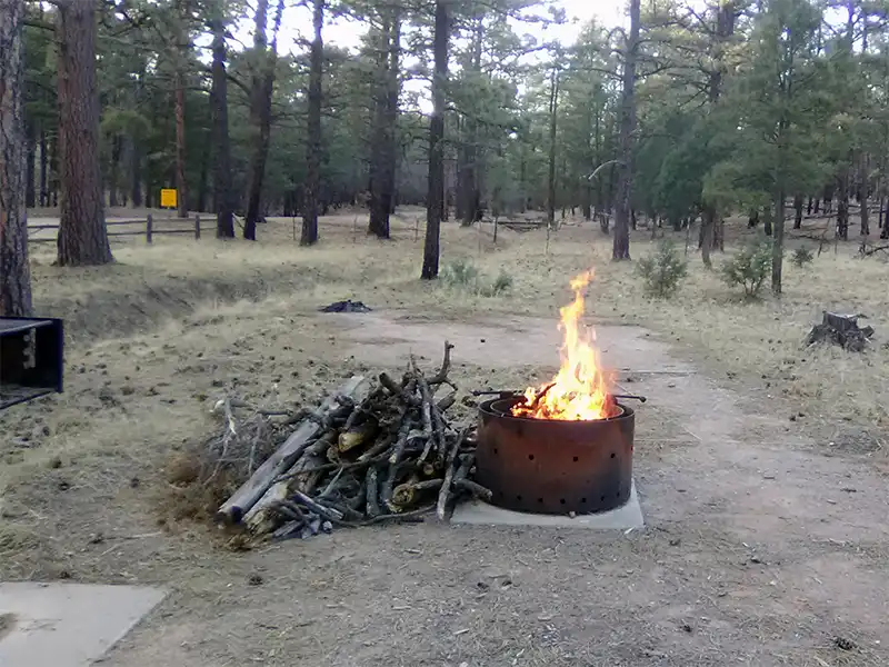
Camping at Red Cloud Campground
There are actually two Red Cloud Campgrounds, this one depicted in the map above is referred to as the “Lower Campground”. There is an upper campground located 1.3 miles further up the road at (GPS: 34.1985, -105.7417). There are no facilities at the upper campground, it’s just a dirt area intended as an overflow campground and parking area for hikers. This lower campground will close during winter while the upper campground remains open all throughout the year.
Forest Road 99 (County Road A023 on Google Maps) is a dirt road that is well-packed and suitable for any vehicle during the warmer months. However, there is no dispersed camping allowed along this road, except for the very last mile (milepoint 13.41 to 14.55) where it ends at Forest Road 161 (County Road A019 on Google Maps). This is in accordance to restrictions detailed in the Motor Vehicle Use Map (see Downloads below). All camping along this road is restricted to the upper and lower Red Cloud Campgrounds.
Red Cloud Campground is rarely used; there will almost always be sites open at any time during the year. There are patches of private property along the forest road, and you will encounter free-roaming cattle.


