Spring Creek Lake Dispersed Area, Cheyenne, OK

Black Kettle National Grassland

US Forest Service

Free Camping Near Cheyenne, OK

This is a designated dispersed camping area located along the east bank of Spring Creek Lake, about 18.5 miles north of Cheyenne, OK. Even it's considered to be a dispersed camping area, there are actually picnic tables and fire rings here. There are only a few places to park your vehicle, but it's assumed tent camping is allowed anywhere here.

Authority

Grassland Headquarters

Tel: (580) 497-2143

Official campground webpage

Particulars

GPS: 35.7732, -99.8344

Elevation: 2,205 feet

Reservations: First come, first served

Camping Fee: None

Permit: None

Max stay: 14 days in a 45-day period

Amenities: Picnic tables, fire rings

Submitted by

Admin Staff

Admin Staff

Boondocker's Bible

blm map overlay BLM  national forest overlay USFS  national park map overlay NPS  national wildlife refuge map overlay NWR  city boundary map overlay City  private property map overlay Private  wilderness area overlay Wilderness [CTRL + Left Mouse Click] for 3D Tilt

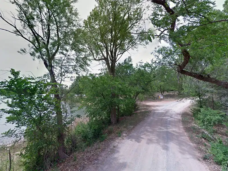
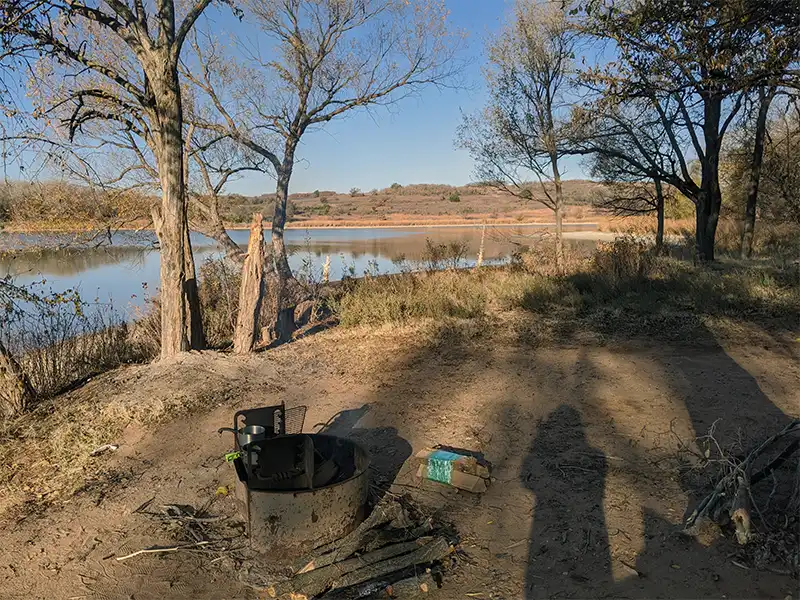
Camping at Spring Creek Lake Dispersed Area

While much more trashy than its developed campground counterpart across the lake, this area offers the more rustic-style of camping along the lake shore. You can expect more bugs here, including mosquitoes and gnats, and more raccoons rummaging through your trash and camping stuff. There are also lots of birds going after the bugs with the added benefit of hearing them chirp and cackle all day long.

There are no trash cans on this side, meaning you have to pack out all your trash. The ground here is rutted and bumpy from folks driving through here in muddy conditions.

Otherwise, if you like this style of camping, it’s here. This is also a place to set up if the developed side is full.

Other Campsites Within 20 Miles Radius

Associated Documents

Cibola National Forest Order 3-03-00-23-03, Occupancy rules, camping limits, alcohol possession, public nudity, (eff: May 20, 2023, term: December 31, 2027)
Motor Vehicle Use Map, Black Kettle National Grassland, Illustrates dispersed camping restrictions & OHV restrictions, (eff: January 1, 2020)

Leave a Comment