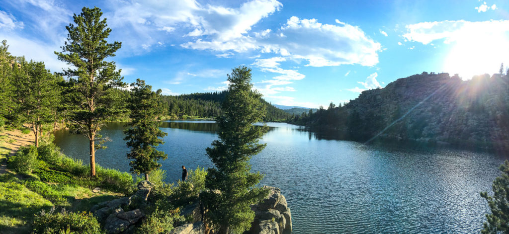
Dispersed camping near Red Feather Lakes, CO is kinda hard to come by due to local town officials and businesses pressuring the U.S. Forest Service to keep boondockers at a distance. But there are some dispersed camping sites within reasonable distance.

Dispersed Camping Near Red Feather Lakes, CO
The following dispersed campsites were selected based on our own experiences camping there, and based on the popularity with other boondockers…
Creedmore Lakes
(GPS: 40.85644, -105.59139) – 5.9 miles to Red Feather Lakes town center – Suitable only for car campers and tent campers, this is a set of three small lakes within the Canyon Lake Ranger District of Roosevelt National Forest, just north of Red Feather Lakes. Creedmore Lakes is accessed by Forest Road 180.C. Much of this short road runs through private property, but once you get to the dirt parking lot, you’re back in US Forest Service land. You are allowed to camp anywhere within 300 feet of the road, but you’re not allowed to camp within 100 feet of the lake shore.
- Download Canyon Lake Ranger District dispersed camping map
- Download Canyon Lake Ranger District dispersed camping rules
Dowdy Lake (Northeast Shore)
(GPS: 40.79922, -105.55692) – 3.3 miles to Red Feather Lakes town center – The northeastern shoreline of Dowdy Lake is actually open for dispersed camping, but you must camp at least 300 feet away from the shoreline. The truck trails in this portion of the lake are rutted and bumpy, but if you have 4WD and high clearance on your rig, you can set up camp here for free. This area is part of the Canyon Lake Ranger District of Roosevelt National Forest.
- Download Canyon Lake Ranger District dispersed camping map
- Download Canyon Lake Ranger District dispersed camping rules
Prairie Divide Road
(GPS: 40.82599, -105.56666) – 2.8 miles to Red Feather Lakes town center – There is a one-mile stretch of this road with about 10 frequently-used campsites that the Roosevelt National Forest has designated for dispersed camping. All of the campsites are on the east side of the road. The first site is at (GPS: 40.82157, -105.56718) and the last site is at (GPS: 40.83032, -105.55619). This area falls within the Canyon Lake Ranger District.
- Download Canyon Lake Ranger District dispersed camping map
- Download Canyon Lake Ranger District dispersed camping rules
Deadman Road
(GPS: 40.79894, -105.63039) – 2.9 miles to Red Feather Lakes town center – Otherwise known as County Road 86, Deadman Road enters into the Roosevelt National Forest at the above mentioned GPS coordinates. From that point further on, dispersed camping is allowed anywhere along this road. There are dozens of previously used campsites here. This area is part of the Canyon Lake Ranger District.
- Read reviews about Deadman Road on Campendium
- Download Canyon Lake Ranger District dispersed camping map
- Download Canyon Lake Ranger District dispersed camping rules
Forest Road 171B
(GPS: 40.75136, -105.61700) – 4.4 miles to Red Feather Lakes town center – NF-171B (which is denoted on Google Maps as County Road 71B), branches off of Manhattan Road (County Road 69), and runs for several miles, connecting up with NF-171A through NF-171L. Dispersed camping is permitted along all of these roads. There are dozens of previously-used sites, perhaps as many as a hundred. Some of these roads can be rough, but 171B is the most well-traveled and should be driveable by any 2WD vehicle. This area is part of the Canyon Lake Ranger District.
- Download Canyon Lake Ranger District dispersed camping map
- Download Canyon Lake Ranger District dispersed camping rules

